Super El Niño Explained: Why Sub-Saharan Africa’s Crop Yields Are Under Threat
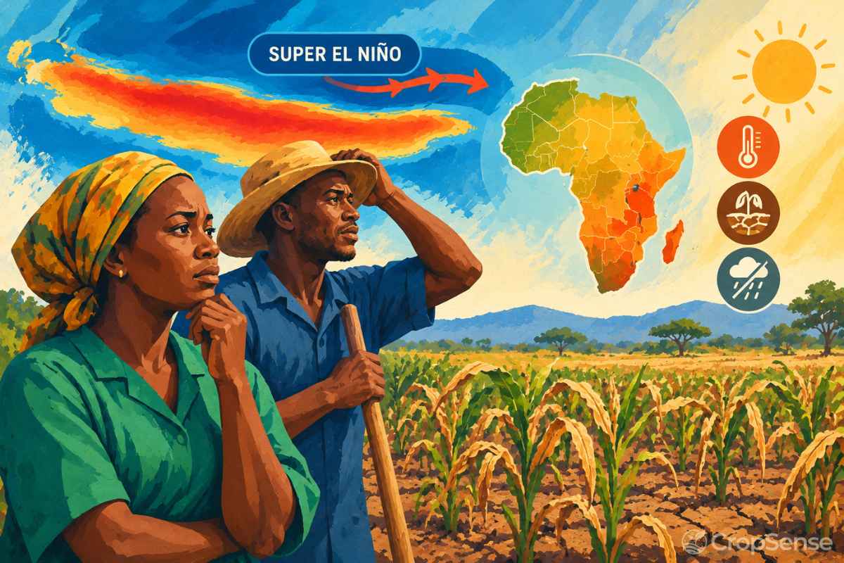
Thousands of kilometres from Africa, the surface of the eastern Pacific Ocean is hotter than it has been in decades. In early October, NOAA reported sea surface temperatures more than 4°C above normal in parts of the eastern equatorial Pacific, and gave an 83% chance that the 2026/27 El Niño will become the strongest on record since 1950 by the end of the year.
That warm water will shape the planting season on farms across Sub-Saharan Africa. In Southern Africa, it points to a late, dry and hot rainy season. In parts of East Africa, it points to floods. And because the event is expected to peak just as many farmers put seed in the ground, it puts the 2027 harvest of maize, sorghum and millet at risk across much of the continent.
This guide explains what a Super El Niño is, how it affects different parts of Sub-Saharan Africa, why staple crops are so exposed, and how farmers, aggregators, lenders and governments can use forecasts and field data to protect yields this season.
What Is a Super El Niño?
El Niño is the warm phase of a natural climate cycle in the tropical Pacific called the El Niño–Southern Oscillation (ENSO). Every two to seven years, the trade winds that normally push warm surface water west towards Indonesia weaken, and that warm water spreads east towards South America. The shift moves the tropics' main zones of rising air and rainfall, which changes weather patterns around the world, including over Africa and the Indian Ocean.
Most El Niño events are weak or moderate. A Super El Niño is the popular name for an exceptionally strong one, usually when temperatures in the central-eastern Pacific run more than about 2°C above normal. Forecasters such as NOAA don't use the word "super"; they call these events "very strong". Only a handful have been recorded: 1982/83, 1997/98 and 2015/16. Each was followed by severe drought, flooding or both in parts of Africa.
The 2026/27 event is on track to join them, and possibly to exceed them. NOAA expects a strong to very strong El Niño to last through January–March 2027, which covers the main rainy and growing season across Southern Africa.
Strength matters. The stronger the El Niño, the more likely the typical rainfall pattern is to show up. According to the UN's Southern Africa El Niño Preparedness Alert, strong El Niño events have been associated with below-normal rainfall in Southern Africa in about 80% of cases. That is a high risk, not a certainty, and impacts vary between and within countries.
Understanding Super El Niño: Droughts vs. Unseasonal Floods
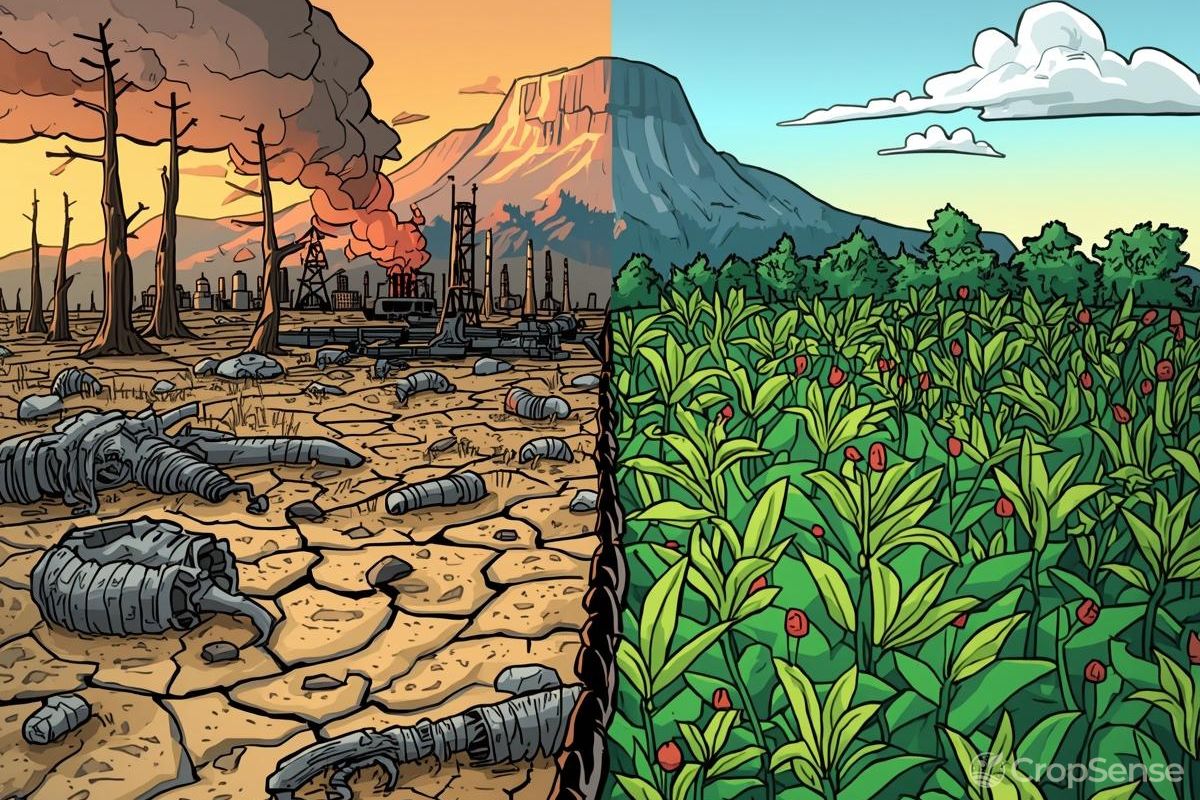
El Niño does not bring the same weather to the whole continent. It tends to dry out some regions and soak others, often at the same time. For anyone managing farms, supply chains or loan books across several countries, that split is the most important thing to understand.
Southern Africa: late rains, dry spells and heat
Southern Africa faces the highest risk. FEWS NET expects below-average rainfall, prolonged dry spells and above-average temperatures across much of the region from October 2026 to March 2027, with Zimbabwe, southern and central Mozambique, southern Malawi, southern Zambia, southern Angola, southern Madagascar and Lesotho most at risk. South Africa's maize belt is also exposed.
For farmers this usually means three things: a late or false start to the rains, which delays planting or forces replanting; dry spells in mid-season, often just as maize reaches flowering; and higher temperatures, which make crops lose water faster and turn moderate dry spells into serious stress.
Recent history shows what this can do. In the 2015/16 El Niño, Southern Africa had its driest season in 35 years, with a regional cereal shortfall of nearly 9.3 million tonnes and more than 40 million people projected to be food insecure. In 2023/24, a weaker El Niño still left Zambia, Zimbabwe and Malawi declaring drought disasters, with 40 to 80% of their maize harvests lost.
East Africa: heavy short rains and flooding
In the eastern Horn of Africa, El Niño usually has the opposite effect. It tends to strengthen the October–December "short rains". FEWS NET says rainfall could reach 150% of average or more in many areas this season, with above-average rains also likely in March–May 2027. The IGAD Climate Prediction and Applications Centre (ICPAC) gives a 90% probability of above-normal rainfall in southern Ethiopia, central and southern Somalia and north-eastern Kenya.
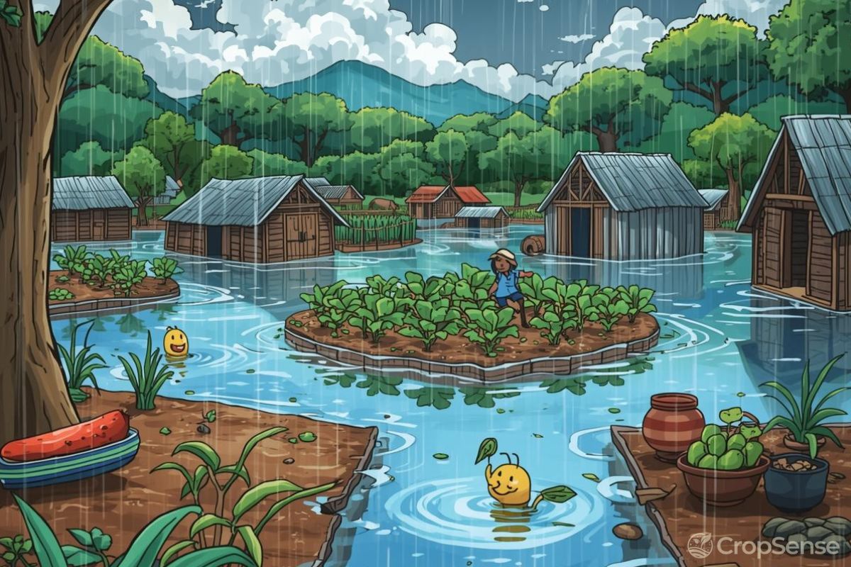
Extra rain can lift production on well-drained land and refill pastures. But unseasonal, intense rain also brings river flooding, waterlogged fields, washed-out seed, harvest losses, and more pests and crop diseases. During the 1997/98 Super El Niño, Kenya's coast and north-east had their heaviest rains in 30 years, and floods and landslides destroyed crops, roads and livestock. Not every part of East Africa gets wetter, either: FEWS NET flags rainfall deficits for northern and western Ethiopia, Sudan and South Sudan.
West Africa and the Sahel: a drier season in places
El Niño years tend to bring a weaker West African monsoon over the Sahel. This year, the June–September season was uneven, with rainfall more than 40% below average in some locations, the worst deficits being in the Sahelian zones of Chad, Niger and Mali. In these areas, El Niño adds to existing pressures from conflict and high food prices, and the effects on food supply will be felt most from March to September 2027.
| Region | Typical El Niño effect | Main crop risk |
|---|---|---|
| Southern Africa | Late onset, dry spells, above-average heat (Oct–Mar) | Failed or delayed planting; maize losses at flowering and grain fill |
| Eastern Horn of Africa | Heavy Oct–Dec short rains; flooding along rivers | Waterlogging, washed-out fields, harvest and storage losses, disease |
| Northern and western Ethiopia, Sudan, South Sudan | Rainfall deficits | Lower cereal yields in the main season |
| West African Sahel | Weaker, patchier monsoon | Poor establishment of millet and sorghum; pasture shortages |
Impact on Key Staple Crops (Maize, Sorghum, Millet)
Maize, sorghum and millet feed hundreds of millions of people across Sub-Saharan Africa, and most of them are grown without irrigation. That makes their yields closely tied to the timing and amount of rain, which is exactly what El Niño disrupts.
Maize: the most exposed staple
Maize is the main staple across Southern and East Africa, and the crop most damaged by El Niño. It needs a steady water supply, and it is most sensitive around tasselling, silking and early grain fill. Agronomists at Purdue University estimate severe drought stress can cut maize yield potential by 3 to 8% per day during pollination. Heat makes it worse: very hot, dry days during flowering reduce pollination and leave cobs with missing kernels.
Maize is also vulnerable to too much water. Waterlogged soils starve roots of oxygen, especially in young plants, and wet conditions at harvest raise the risk of mould and aflatoxin in stored grain, a concern for East African farmers facing heavy short rains.
Sorghum: tougher, but not immune
Sorghum copes with drought far better than maize. Its deep roots and waxy leaves help it hold on through dry spells, and it can pause growth during stress and recover when rain returns. That is why it is often recommended as a substitute for maize in El Niño years in drier areas.
But sorghum still loses yield when stress hits at booting and flowering, and very late rains can shorten its season. In wetter El Niño areas of East Africa, its main risks are different: grain mould, head pests and sprouting in the field when heavy rain falls at maturity.
Millet: the Sahel's safety crop under pressure
Pearl millet is the most drought- and heat-tolerant of the three, which is why it dominates the sandy soils of the Sahel. Even so, it depends on good rain at sowing to establish, and dry spells around flowering reduce grain set. When the West African monsoon starts late or stops early, as it can in El Niño years, farmers may have to sow several times or accept much lower yields.
| Crop | Drought tolerance | Most sensitive stage | Main El Niño risk |
|---|---|---|---|
| Maize | Low to moderate | Tasselling, silking, early grain fill | Mid-season dry spells and heat; waterlogging in flood areas |
| Sorghum | High | Booting and flowering | Late-season drought; grain mould and pests in wet areas |
| Millet | Very high | Establishment and flowering | Late or erratic onset; early end to the rains |
Beyond the field: prices, credit and supply chains
A poor harvest in one country spreads quickly. Southern Africa trades maize heavily across borders, so a regional shortfall pushes up prices for everyone. FEWS NET expects South African white maize prices could peak between about April 2027 and early 2028, following the patterns of 2015/16 and 2023/24, with the worst food insecurity arriving in the November 2027 to March 2028 lean season.
For aggregators and processors, that means supply contracts that can't be filled. For lenders, it means input loans that farmers can't repay. For governments, it means food import bills and emergency programmes. The cost of a Super El Niño lands long after the rains have failed, which is exactly why acting early matters.
How Precision Data & Early Warnings Protect Harvests
A Super El Niño is one of the few climate shocks that can be seen coming months ahead. The challenge is turning a regional forecast into decisions for a specific farm, field and week. Here is how to do it.
1. Before planting: plan with the seasonal forecast
- Read your national forecast. Seasonal outlooks from national meteorological services, SARCOF in Southern Africa and ICPAC in East Africa translate El Niño into local rainfall probabilities.
- Adjust crop and variety choice. In high-risk drought areas, switch some maize to drought-tolerant, early-maturing varieties, or to sorghum and millet. Our guide to high-quality and climate-resilient seed covers the options available in Africa.
- Don't plant on the first rains. In El Niño years, false starts are common. Wait until the soil has enough moisture at depth before sowing.
- Stagger planting. Spreading planting dates across fields reduces the chance that one dry spell hits every crop at flowering.
- Prepare for floods in wet regions. Clear drains, avoid planting in low-lying flood paths, and plan storage and drying for a wet harvest.
2. During the season: watch the crop, not just the rain gauge
Rainfall totals often hide the problem. A month with near-normal rain can still contain a three-week dry spell, and heat can drain soil moisture faster than expected. Monitoring the crop itself shows where stress is building before it is visible from the road:
- Satellite vegetation and moisture indices. NDVI shows crop vigour, and NDMI shows water in the leaves, often falling before greenness does. Radar imagery keeps monitoring going through cloud cover. Our guide to vegetation indices explains how they work.
- Soil moisture probes. Readings from the root zone show when a field is drying out, days before the crop shows it.
- Stage-aware alerts. A dry spell matters far more for maize at silking than for maize just emerging, so alerts should take crop stage into account.
- Flood and waterlogging mapping. In East Africa, radar imagery can show which fields are standing in water so field teams can prioritise drainage, replanting or early harvest.
3. When stress is flagged: act fast
- Prioritise water for fields at flowering and grain fill if irrigation is available.
- Protect soil moisture with mulch, crop residues and quick weed control, and avoid unnecessary tillage.
- Time fertilizer around moisture. Nitrogen applied to dry soil is poorly used; top-dress before expected rain where possible.
- Replant or switch crops early if a crop fails soon after planting and enough season remains for an early-maturing variety.
- Update yield forecasts so off-take, storage, transport and finance plans reflect the harvest that is really coming.
For a wider set of long-term practices, see our guide to building climate resilience.
4. Protect the balance sheet, not just the crop
Some losses can't be avoided in a severe El Niño year. Index-based insurance pays out when a measured trigger, such as a rainfall deficit or a drop in vegetation health, is reached, so farmers and lenders don't have to wait for field-by-field loss assessments. Cover has to be in place before the season starts. Read more about index-based insurance in Africa.
What This Means for Aggregators, Lenders and Governments
A Super El Niño is a portfolio risk as much as a farm risk. Organisations working with hundreds or thousands of farms can use satellite and field data to:
- Map exposure now. Overlay farm locations with seasonal forecasts to see which suppliers, borrowers or programme areas sit in the highest-risk zones.
- Target support early. Direct drought-tolerant seed, advisory and water-saving inputs to the farms most at risk before planting, not after the crop has failed.
- Track the season field by field. Rank every farm by crop stress so extension officers visit the worst-affected areas first.
- Adjust credit and contracts. Use evidence of crop condition to reschedule repayments or delivery commitments fairly. See how banks use satellite data to de-risk agricultural loans.
How CropSense Helps You Prepare for El Niño
CropSense brings satellite, soil and weather data into one platform, so farms and the organisations that work with them can see El Niño's effects field by field and act early:
- Satellite Crop Monitoring: NDVI and NDMI across every registered field using optical and radar imagery, with stress and flood-affected zones pinpointed by GPS.
- Soil Analytics: track root-zone moisture from IoT probes alongside lab soil test results, so you know when crops are starting to run short of water.
- AI Advisory: dry-spell and heavy-rain alerts, planting and irrigation advice on WhatsApp in English, Pidgin, Yoruba, Hausa, Igbo, Swahili or French.
- YieldSecure: climate and yield cover with measurable triggers for drought, rainfall deficit and vegetation stress.
- YieldRank: farm-level credit risk scores that help lenders see which borrowers are most exposed this season.
Final Thoughts
The 2026/27 El Niño is shaping up to be one of the strongest ever recorded, and it will peak during the growing season for much of Sub-Saharan Africa. Southern Africa faces a serious risk of drought, parts of East Africa face floods, and the Sahel is already feeling the effects of a patchy season. Maize is the most exposed crop, but no staple is completely safe.
The difference between a damaged season and a disaster is often how early people act. Farmers who adjust planting and crop choices, monitor their fields closely and secure cover in advance, and organisations that map their exposure and target support early, can protect much of the harvest that would otherwise be lost.
See El Niño's impact on your fields before it shows up at harvest. Get started with CropSense for satellite crop monitoring and early warning alerts, or book a meeting with our team to assess El Niño exposure across your farms, suppliers or loan portfolio.